Watching Armed Conflicts from Space
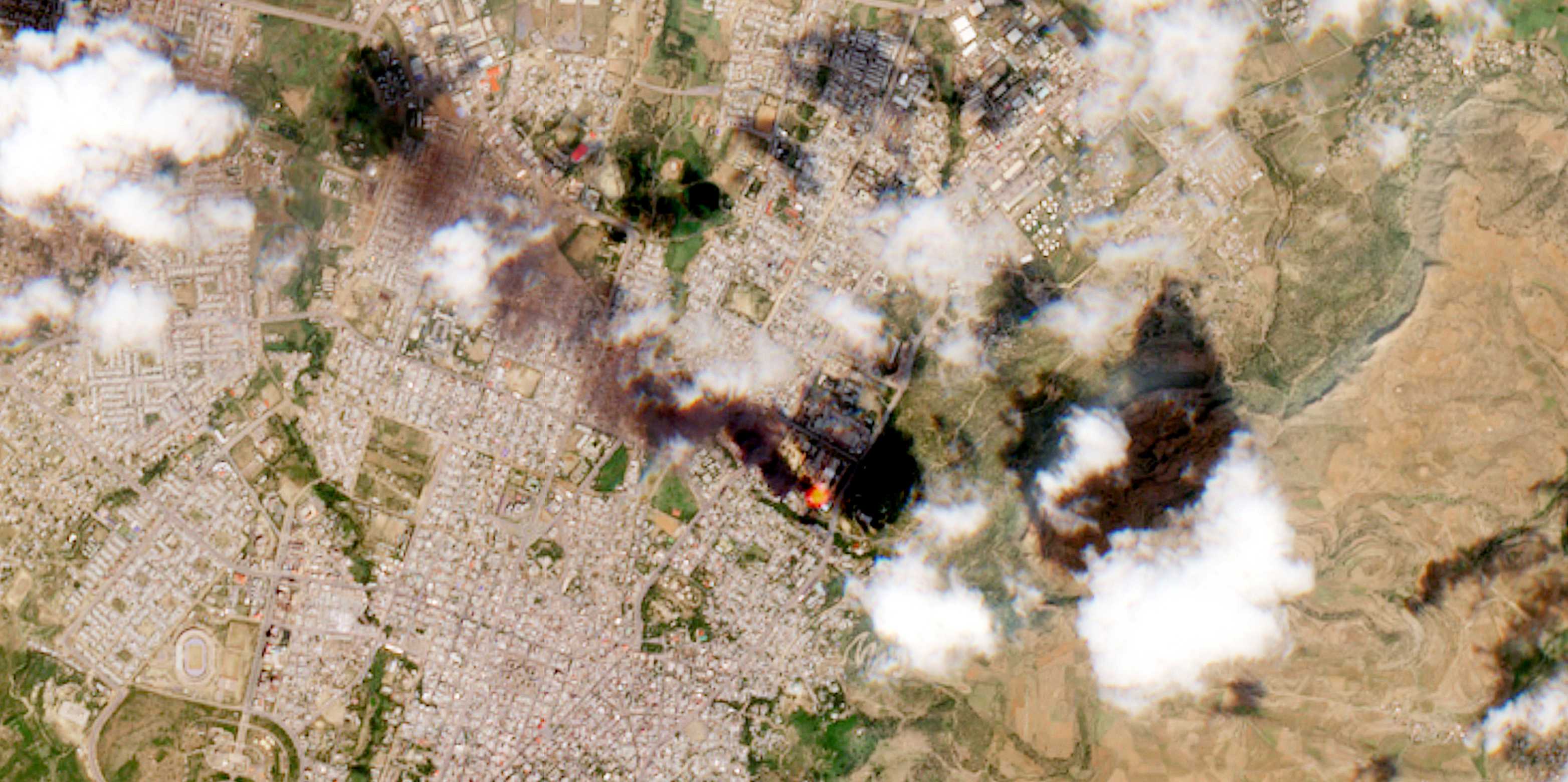
Leveraging open-access satellite images with deep learning can help humanitarian and human rights organizations address violent conflicts more rapidly. To ensure the effectiveness of remote monitoring, organizations need to align their strategies with the technical constraints of deep learning-based monitoring systems.

From the buildup of Russian tanks along the Ukrainian border to images of destruction raging through cities and villages, we all watched the war in Ukraine unfold with images from the sky. When Russia bombed the Mariupol theater in March 2022, it was not primarily the photographs of the victims that garnered global attention and outrage. Instead, it was a satellite image of the theater captured shortly before the attack. The image revealed the word “children” in Russian, written twice outside the theater and clearly visible even from space. Russian tactical fighter aircraft attacked the theater anyway. For many, the attack came to symbolize Russia’s blatant disregard for civilian lives in the war in Ukraine, a powerful demonstration of how satellite images can profoundly affect public discourse.
Throughout their history, satellite images have influenced the course of armed conflicts. However, with the proliferation of commercial satellite providers, satellite images are increasingly used not only by those who fight wars but also those who report on them, and those who seek to mitigate the damage they inflict. In contrast to other remote sensing instruments, such as drones, satellites are much less intrusive, as they are operated from space. Human rights and humanitarian organizations like the International Committee of the Red Cross (ICRC) or Amnesty International have come to rely on satellite images as an essential tool to understand what is happening in areas that are otherwise inaccessible. They use satellite images for human rights investigations, for example, to determine which conflict actor was in control of anarea when an atrocity took place. More generally, satellite images help these organizations understand where fighting is happening, prioritize humanitarian assistance, and monitor humanitarian corridors for the safe passage of refugees and aid.